We specialise in wayfinding and maps. It’s kind of inevitable with our work on places, from small individual sites to whole landscapes.
We’ve worked on design and interpretation for the New Forest National Park for many years. The Pocket Guide includes a map of the Park, how to get around and an overview of events, flora and fauna. A quarter of a million Guides are distributed every year throughout the National Park.

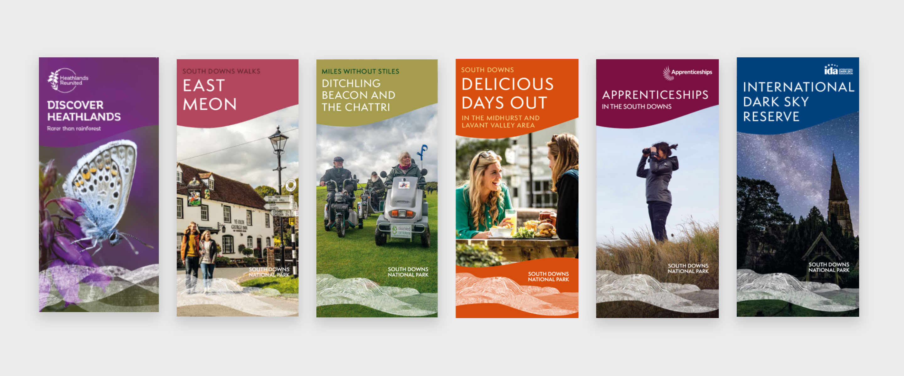
The South Downs is the UK’s newest National Park. We’ve been working with them since 2013, refining and rolling out their visual language (developed by Peter Anderson Studio). Projects include multiple walking leaflets, foodie guides, dark sky events and wayfinding panels installed throughout the National Park.

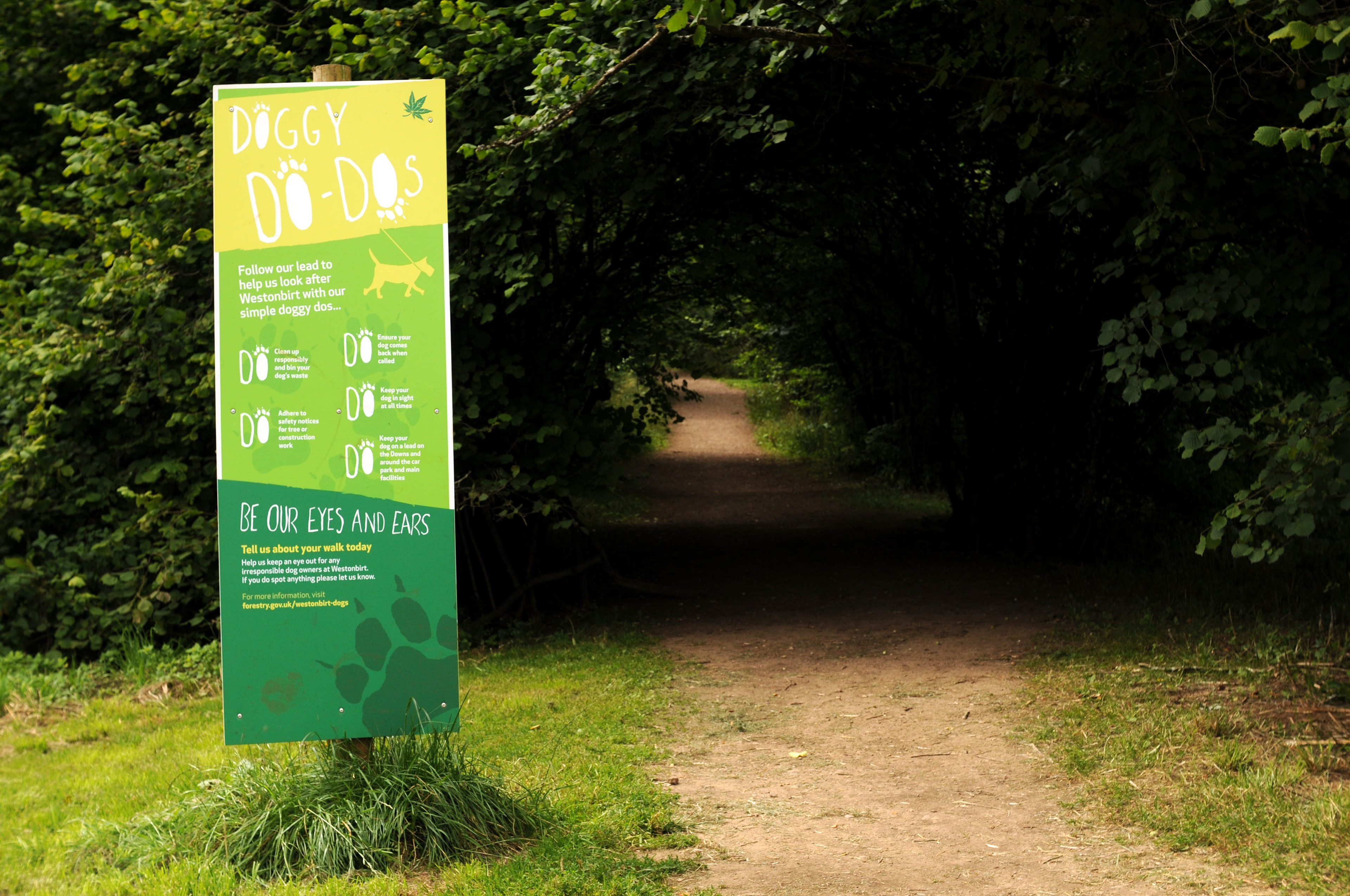
We’ve been working with Westonbirt for many years on a wide range of wayfinding and maps. We also work with them on developing interpretation (see other case studies).
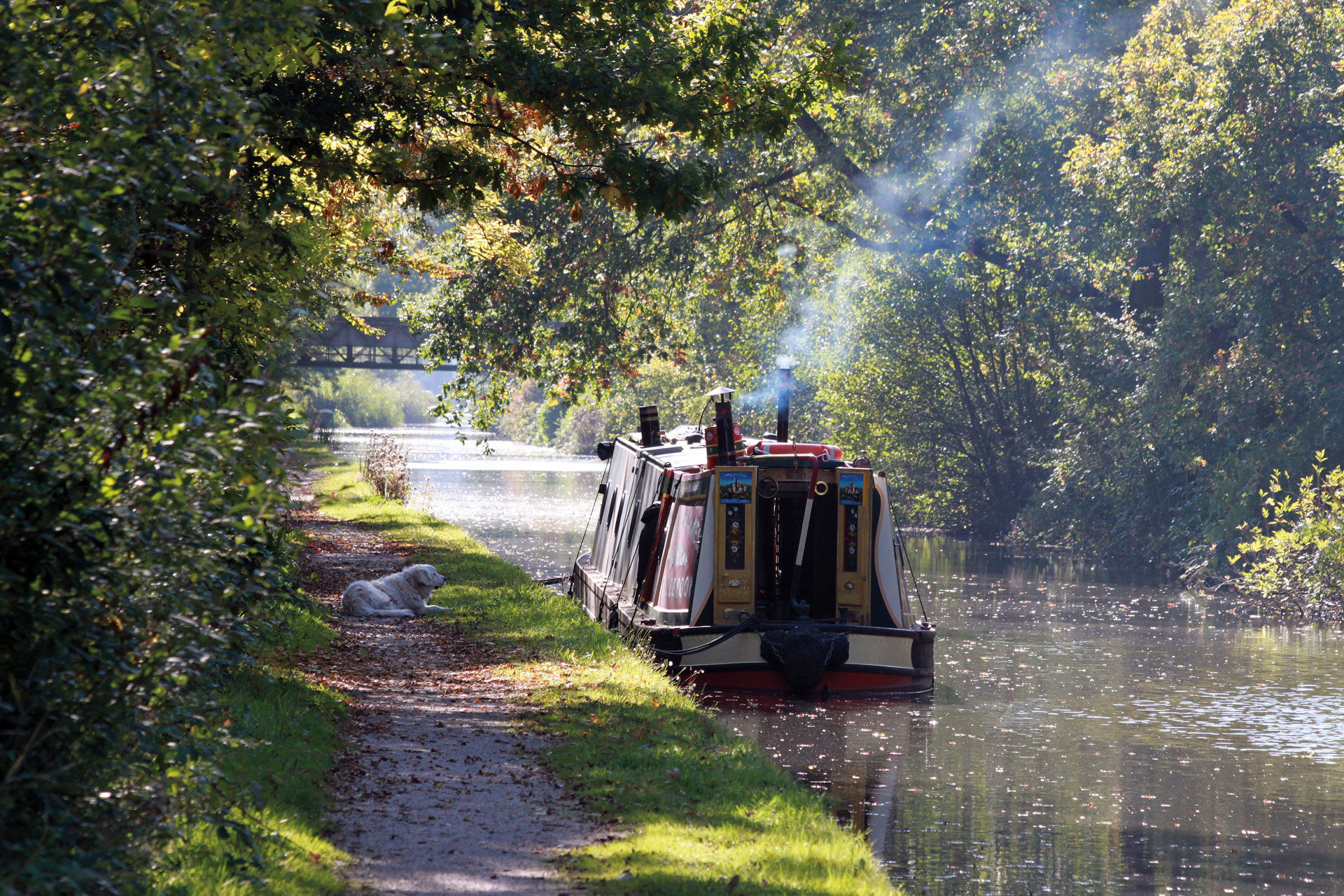
Nearly two million people live near the River Tame – the main river flowing out of Birmingham.
We designed a series of trail guides/walking leaflets, including a map style following the existing Tame Valley Wetlands brand (developed by Barker Langham). This was a NHLF-funded project and there are currently eleven guides in the series.

New work from The Way is always received with a sense of excited anticipation. We have incredibly high standards for our publication design projects with many things to take into consideration. The Way have evolved with us to be a dependable and important link in the chain of production and we look forward to more exciting projects ahead.